S
427 x 640 px
FREE
M
1280 x 1920 px
FREE
L
4000 x 6000 px
FREE

Upgrade to download up to 10 images at a time.

Standard license

This Cityscape and blue sky of Tennocho, Yokohama photo can be used for personal projects. It can also be used for commercial projects in some cases. Read more

Image information
Creatore:MakotoHonda
Title: Cityscape and blue sky of Tennocho, Yokohama
Image ID: 4285086
Downloads: 0
Model release: N/A
Property release: N/A
Categories:
edifici--architettura / Cityscape and blue sky of Tennocho, Yokohama
natura--paesaggio / Cityscape and blue sky of Tennocho, Yokohama
icon filter search

Antivirus

S
427 x 640 px
FREE
M
1280 x 1920 px
FREE
L
4000 x 6000 px
FREE

Upgrade to download up to 10 images at a time.

Standard license

This Cityscape and blue sky of Tennocho, Yokohama photo can be used for personal projects. It can also be used for commercial projects in some cases. Read more

Image information
Creatore:MakotoHonda
Title: Cityscape and blue sky of Tennocho, Yokohama
Image ID: 4285086
Downloads: 0
Model release: N/A
Property release: N/A
Categories:
edifici--architettura / Cityscape and blue sky of Tennocho, Yokohama
natura--paesaggio / Cityscape and blue sky of Tennocho, Yokohama

Similar free stock photos

View all

Related free stock photos

Similar free illustrations

View all
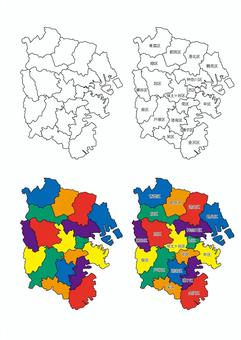
Map of Yokohama City (division)
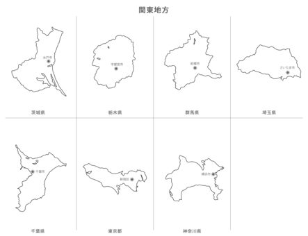
Blank map-Kanto region metropolitan area set-prefectural office location
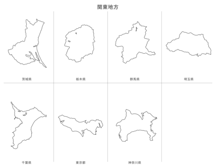
Blank map-Kanto region prefecture set-prefecture name / prefectural office
Blank map-Kanto region prefecture set-with prefecture name
Map of Kanagawa Prefecture drawn with city and town names
神奈川県19市13町1村の地図
Blank Map-Japan-Entering Districts, Towns and Villages-Kanagawa Prefecture
Deformed map with municipalities_Saitama 01
Deformed map with municipalities_Chiba 01
Deformed map with municipalities_Gunma 01
Comments